The Ray Pic waterfall
Located at over 1,000 meters of altitude in the commune of Péreyres, in the heart of the Ardèche Cévennes, the Ray Pic waterfall is a natural site classified as a UNESCO geosite and one of the must-see attractions in Ardèche. As part of the Monts d’Ardèche Geopark, this spectacular waterfall attracts numerous visitors each year, who are captivated by its natural beauty and fascinating geological history.
A geological marvel
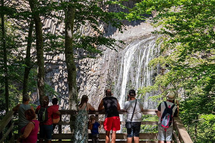
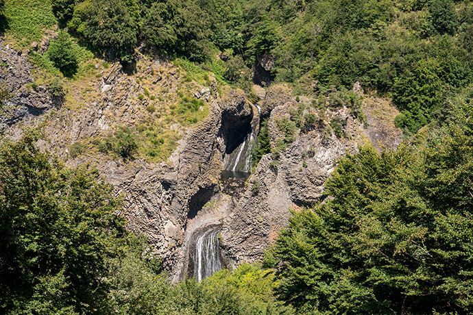
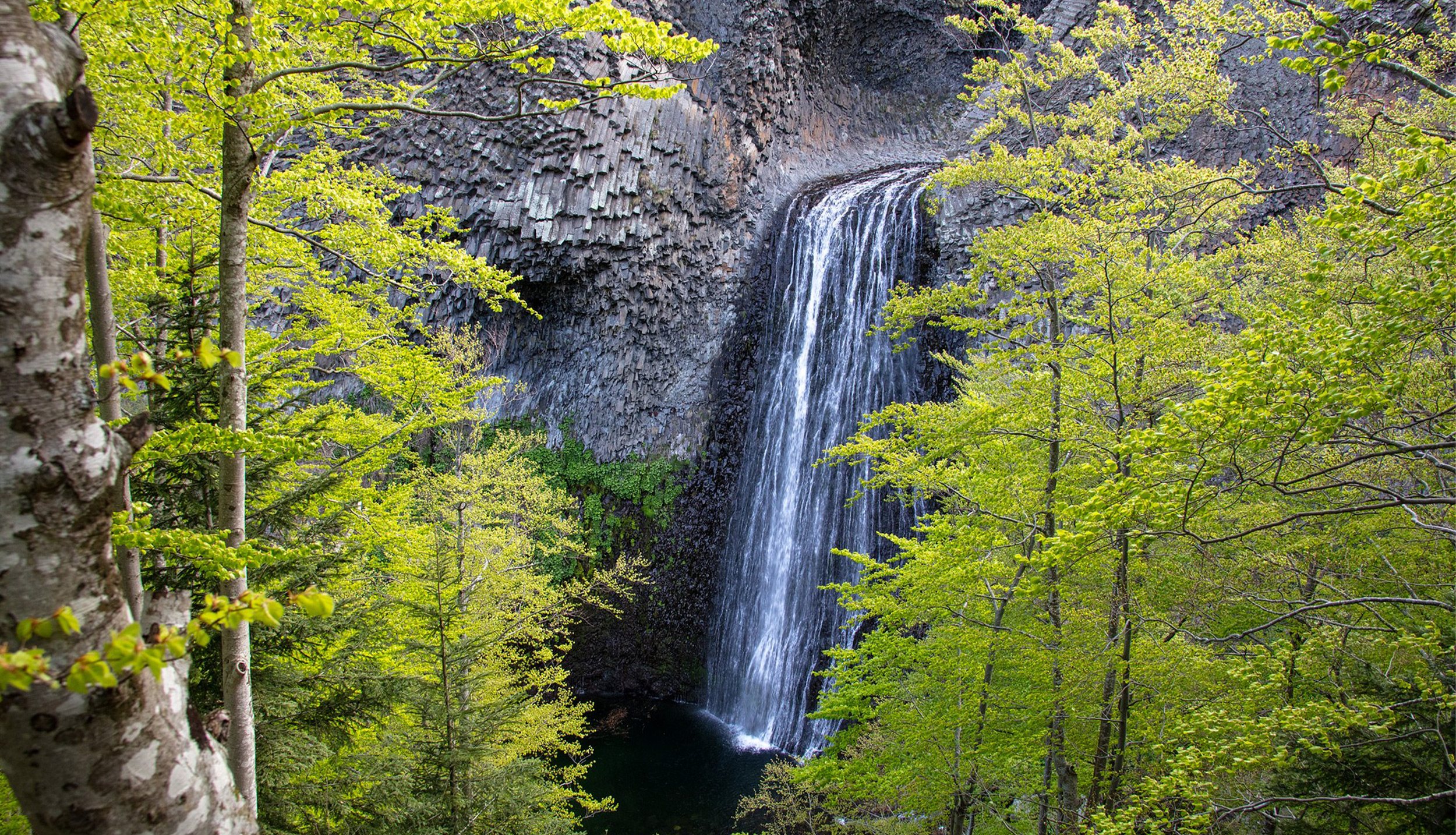
The Ray-Pic waterfall bursts majestically from amidst basalt columns, offering a breathtaking spectacle as the waters of the Bourges River carve their way through volcanic flows. This site is composed of two successive falls: the first, hidden about 60 meters above, and the second, the main one, cascading down 35 meters. This double waterfall creates a magical atmosphere, further enhanced by the towering basalt formations that frame the cascade. It is particularly recommended to witness its grandeur just after the rain, when it becomes even more stunning!
An impressive volcanism
The Ray-Pic is not just a waterfall; it is also an exceptional volcanic site. Several thousand years ago, the Ray-Pic volcano, also known as the Coupe de la Fialouse, was in full activity, pouring out torrents of lava that formed one of the longest lava flows in France, stretching over 20 kilometers. When this glowing lava came into contact with water, it created fan-shaped basalt columns (volcanic prisms resembling church organ pipes), which now stand as witnesses to this intense volcanic activity.
A breathtaking nature
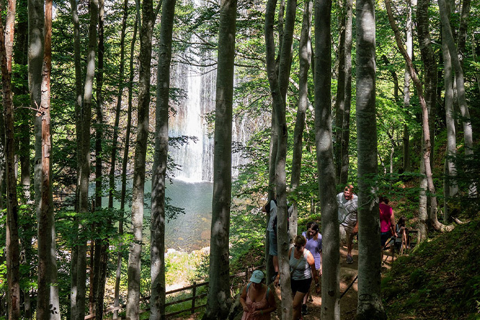
Although swimming is prohibited for safety reasons, admiring the spectacle offered by the Ray-Pic waterfall is highly recommended. As the clear water falls, it forms natural pools before plunging into the Bourges Valley. Surrounded by unspoiled wilderness, beech trees, leaves, and flowers, the waterfall is a true haven of peace and beauty.
Hiking
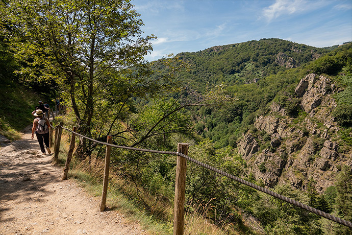
For hiking enthusiasts, you can start directly from the village of Péreyres to take the longer route to the Ray Pic Waterfall (allow about 3 hours). You can find all the route information here or on the free mobile app Rando Monts d’Ardèche. To extend the experience, in Sources & Volcans, you’ll find over twenty hikes around the Ray Pic Waterfall, with options suitable for all levels. Well-marked trails will allow you to discover the local flora and fauna, as well as other geological and natural points of interest.
Visits in the area
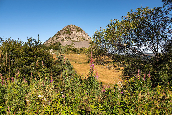
The Mont Gerbier de Jonc, a phonolitic protrusion dating back 7 million years, has been classified since 1933. Its name derives from the word “Jugum,” meaning mountain. At its base, a basalt flow rests on a crystalline foundation. Its haystack-like shape, along with its extraordinary fauna and flora, makes it the symbol of the sources of the Loire River.
This peak in the Monts d’Ardèche is an ancient volcano whose thick lava has crystallized into phonolite, used for slate roofs (e.g., the Bourlatier Farm 3 km away) and for music on lithophones.
…just a stone’s throw from Mont Gerbier de Jonc
Take the opportunity to explore the charming Ardèche villages nearby, such as Péreyres, Burzet, and Lachamp-Raphaël.
To preserve it, we must respect it!
To preserve the natural beauty and biodiversity of the Ray Pic Waterfall, it is essential to follow certain rules: do not leave any litter, stay on marked trails, and avoid disturbing the local wildlife. As swimming is prohibited, please adhere to this rule to ensure your safety and protect the aquatic ecosystem.
Practical Information
How to get there?
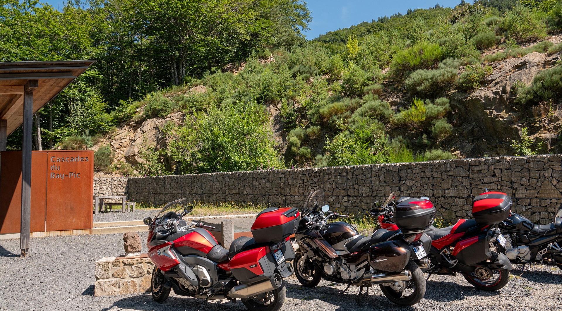
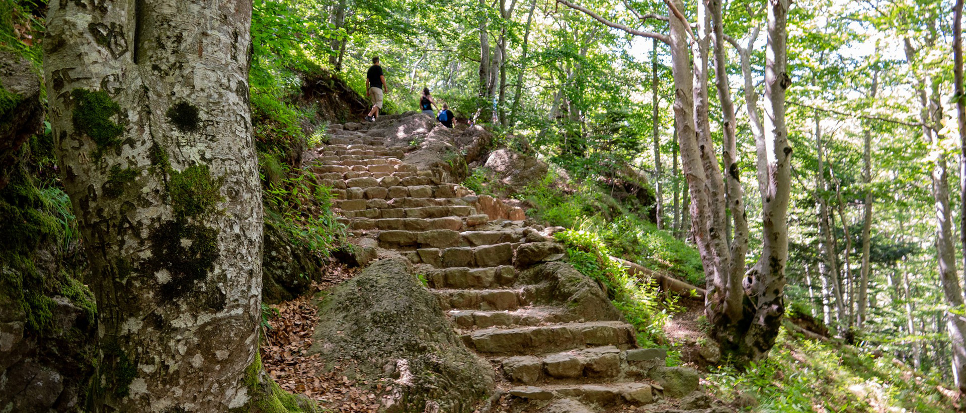
To discover this natural gem, follow the D215C between Burzet and Lachamp-Raphaël until you reach the parking area signposted with large wooden signs reading “Cascade du Ray Pic.” From there, a marked footpath will take you, in about 15 minutes, to a first viewpoint offering a breathtaking view of the waterfall. Since 2012, after safety improvements, visitors can once again admire the waterfall from two large wooden terraces while remaining secure. If you wish to reach the observation platform closest to the waterfall, plan for 30 to 45 minutes (about a hundred steps).
Accessibility
Although the walk to the waterfall viewpoint is relatively easy, it is recommended to wear comfortable and non-slip walking shoes, especially after rain, as the trails can be slippery. For those with reduced mobility, we advise viewing the waterfall from the designated viewpoint, located 1 km above the parking area. From there, you'll have a magnificent panoramic view of the Ray Pic Waterfall and its various water basins.
On-site Services
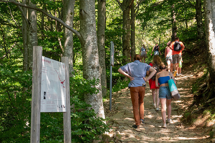
Information panels are installed along the path to the waterfall to inform visitors about the geology, history, and region. Take advantage of the designated picnic areas (just be sure not to leave any litter behind to help preserve the site) where you can rest and enjoy the view!
When to visit?
The Ray Pic Waterfall is accessible year-round (except in adverse weather conditions)! However, we recommend visiting in spring and autumn when the water levels are highest and the surrounding nature is vibrant with fall colors or seasonal blooms in spring. In summer, it is best to visit early in the morning or late in the afternoon to avoid the heat and crowds.
Ecological Initiatives
The commune of Péreyres and local authorities have implemented various initiatives to protect this classified natural site. These efforts include monitoring the conservation status of the vegetation and geological formations, as well as raising visitor awareness about the importance of preserving this unique environment.
The Ray Pic Waterfalls are much more than just a sightseeing spot; they offer an immersive experience in the wild beauty of Ardèche. It’s a guaranteed change of scenery that will leave you with unforgettable memories marked by the perfect harmony between water, stone, and nature. Whether for a day trip or as part of a larger journey, the Ray Pic Waterfall is a destination worth exploring and cherishing! So, when will you come?
