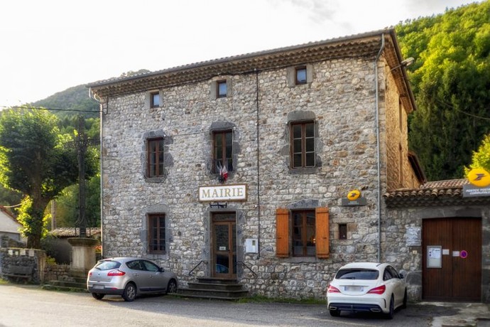
Mayres
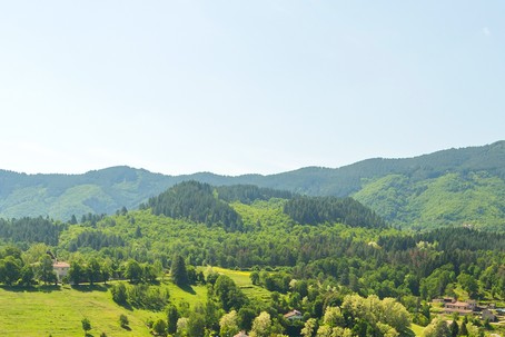
In the land of the young volcanoes of the Regional Natural Park of Monts d’Ardèche, the small village of Mayres reveals itself shyly. Located in the Upper Ardèche Cévennes, it is part of the Thueyts canton.
A village that inspires escape, relaxation, and the desire to enjoy nature… The municipality is a key stop on the trail of the Chaussée des Géants, along the thrilling 51km footpath called “Les Trois Vallées.” Here, there’s no need to rush; you can also admire its landscapes, taking all the time you need!
What awaits you…
The rock of Abraham
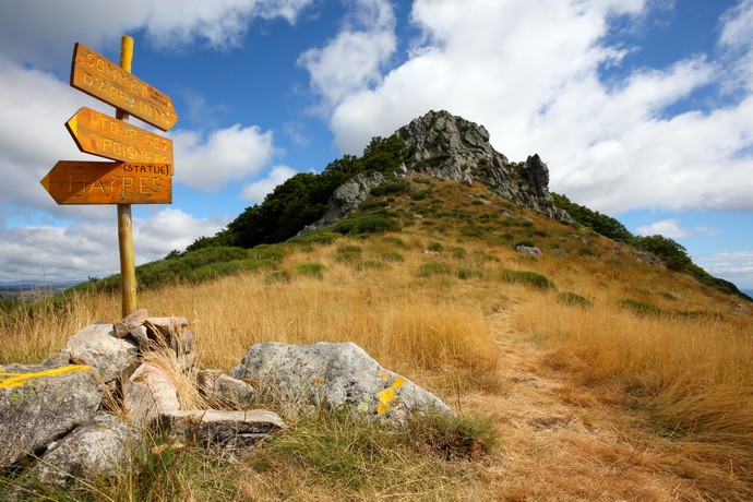
The highest point in the municipality with an altitude of 1498 meters, the Rock of Abraham is a unique detour for those with a strong heart! While its viewpoint surprises and charms all adventurers who have reached its summit after more than 4 hours of hiking, it offers a 360° view of the Monts d’Ardèche with its unique location between the municipalities of Barnas, La Souche, and Mayres.
Three-stage race
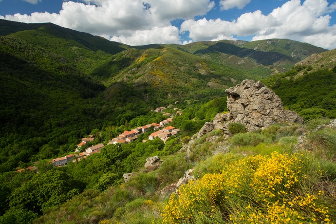
The course of the three valleys is the story of fifty-one kilometers of encounters between landscapes and sports during the annual trail of the Chaussée des Géants! Indeed, Le Lignon, La Fontaulière, and the Ardèche become the playground for trail runners, hikers, or the curious, with unforgettable horizons over the Monts d’Ardèche throughout the course. Access to the course is permanent and a must-see!
For history enthusiasts…
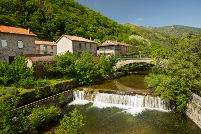
Mother Nature
The origin of the name Mayres is believed to come from Latin “Matribus,” referring to the “mother goddesses” honored by the Celtic cult in place during the Roman invasion. It is a testament to an ancient human presence scattered in the valley. Mayres also made a mark in agriculture: in the Middle Ages, it was a prominent center for the cultivation of rye and hemp. Each cottage had a “chabanier” (field where hemp was grown), and the remaining crops included vegetables, rye, and turnips.
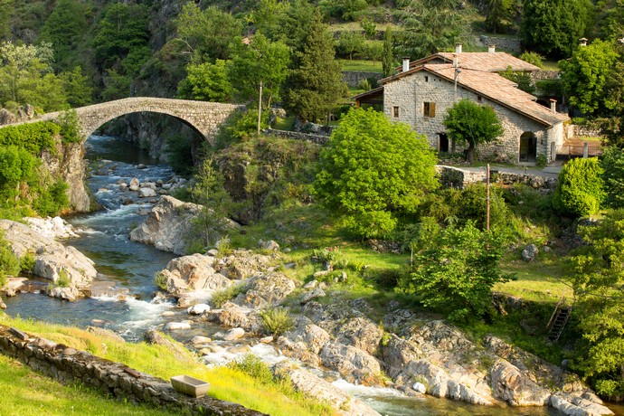
The Travers Bridge
The old Travers Bridge, also known as the Malbos Bridge, spans the Ardèche River in the hamlet of the same name and is nowadays an iconic structure of the village. During the medieval period, when travelers were abundant, several inns were scattered along the road between Mayres and Astet, as well as near the Malbos Bridge and in Astet. These makeshift inns were the only ones authorized to provide food to travelers as they would later pay a fee to the lord.
The unexpected detour
It’s the story of the mysterious Saint Médard chapel and its Montlaur castle. In fact, it all began when the Montlaur family wanted to travel from Coucouron to Aubenas. They instinctively followed the natural route, the Ardèche River, and Mayres.
As they approached this village, their attention was drawn to a strategic point, the hill of Saint-Médard, inaccessible from all sides except the north. This prompted them to build a fortress with a keep, Romanesque gate, and corner towers to protect the valley and the town of Mayres, their property. Today, unfortunately, it is inaccessible from the N102 and can only be reached via a footpath.

