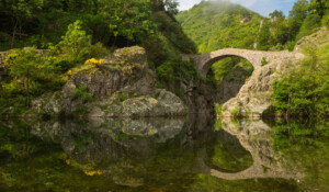
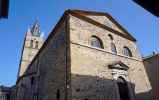
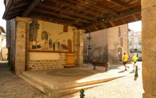
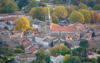
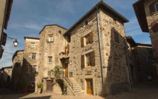
Walk starting from the village of Thueyts in the Ardèche, with its Devil's Bridge, Fargebelle and Queen's Ladder.
Opening : All year round.
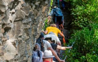
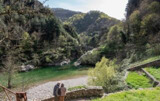
Explore the Pont du diable valley, on the other bank of the Ardèche, on the heights of the ancient hamlet of Fargebelle! Take the famous "Ladder of the Queen" for panoramic views off the beaten track!
Loop / Level: Medium / 4.8 km / 2h30
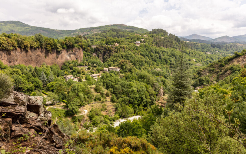
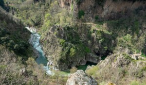
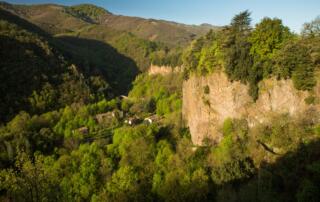
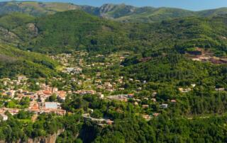
Some very beautiful views of the basaltic flow of the Chaussée des Géants and its 80 m height, as well as the entire upper Ardèche valley.
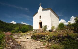
It also helps to better understand the link between the volcano, clearly visible from the viewpoint at the end of the Via Ferrata, and its basaltic flow. Less “urban” than its smaller counterpart, the Echelle du Roi, the walk of the Echelle de la Reine takes you to the hamlet of Fargebelle, typical of the closed Cévenol hamlets of the 14th century.
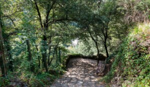
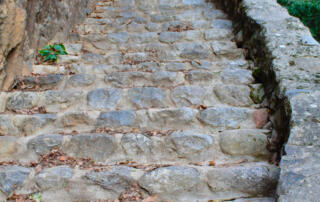
The walk will then take you through a very beautiful chestnut grove before crossing the Ardèche again on the Haute Vernède bridge, much less known than the Pont du Diable but just as scenic. Conversely, while the Echelle de la Reine is a stone staircase of 215 fairly regular steps, unlike those of the King which are of irregular sizes and shapes, carved into volcanic rock… You will therefore need a bit of courage to climb the Echelle de la Reine before reaching the top of the flow again.
🔁Loop ⚠3 Medium 🕒2H30 📏4.8km 📈+266m 📉-267m PR
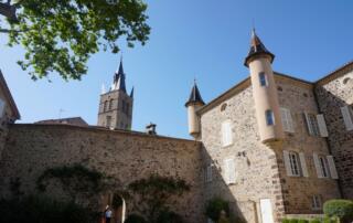
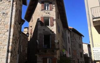
Start from the “INFO RANDO” sign on the Place du Champ de Mars, in Thueyts.
① From Thueyts square, go down the N102 (white and yellow markings) towards Aubenas/ Neyrac on your left.
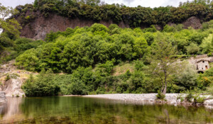
② Just before the bridge, turn left towards the Via Ferrata/ Pont du Diable. Pass under the bridge and go down the path that passes under the basalt columns.
③ At the fork, turn right towards “échelle du roi, Pont du diable”.
④ At the 🚩La Roche signpost, turn left towards Jaujac 9.1km, via Fargebelle 1.8km.
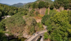
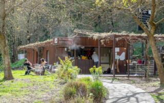
⑤ Upon reaching the road, turn right towards “Pont du diable”. At the “Public Beach” sign, turn right onto the road. Pass the reception buildings of the via ferrata and the site, and head towards the stairs facing the Pont du Diable.
⑥ Cross the bridge then turn left onto “Fargebelle-Mercier”. At the fork, turn right towards the “Interpretation Table”. The path winds upwards to a viewpoint offering a magnificent view of the Chaussée des Géants and the Ardèche valley. The viewpoint is also the end of the Via Ferrata.
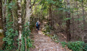
⑦ Continue the ascent towards “Fargebelle”. The path crosses a chestnut grove. Cross the bridge over the Fargebelle stream and continue to climb.
⑧ Attention, 50m further, the path turns left then right, climbing quite steeply through the chestnut grove. Upon reaching the large granite blocks, turn right onto the terrace towards “Fargebelle”.
⑨ After a few dozen meters, you will arrive at the abandoned hamlet of Fargebelle. Be careful not to venture into the ruins of the houses, they are not stable.
⑩ At the 🚩 “Fargebelle” signpost, follow the direction Thueyts 3.2 km via Coustet des Vernèdes
⑪ The path then leaves the chestnut grove for a while to offer again a very beautiful view of the upper Ardèche valley. Start the descent along the mountainside then ford the Peyseline stream (caution after rain).
⑫ At the fork in the chestnut grove, turn right towards “La Vernède, échelle de la reine”. The path passes a ruined barn and then crosses a beautiful chestnut grove under renovation. The path descends in winding turns to the Coustet des Vernèdes signpost.
⑬ At the 🚩 “Le coustet des Vernèdes” signpost, follow the direction Thueyts 1.6 km via Tramontel 1.3 km. Cross the bridge and continue the path to the Echelle de la Reine and its 215 steps.
⑭ At the top, after a few dozen meters, turn right (chemin des plots) then left between the walls. Upon reaching the paved road, follow it to the main road.
⑮ At the 🚩 “La Tramontel” signpost, take the direction Thueyts 0.3 km
⑯ Take the second street on the right to return to the Place du Champ de Mars, your starting point.
Start/End: Place du Champ de Mars in Thueyts.
Communes crossed: Thueyts.
Road access and parking
From Aubenas, head towards Puy en Velay and continue on the N102 to the village of Thueyts.
Parking: Parking in the village square (except on Fridays, market day). Several free parking lots are available in the village of Thueyts.
- Car park
- Parking
- Pets welcome
- Pets accepted: Yes
- Animal reception conditions:
Please keep your pets on a leash during your hikes.
- Not accessible in a wheelchair
- French
Hiking : Devil's bridge / Queen's ladder, Fargebelle in Thueyts
Place du Champ de Mars
07330 Thueyts
