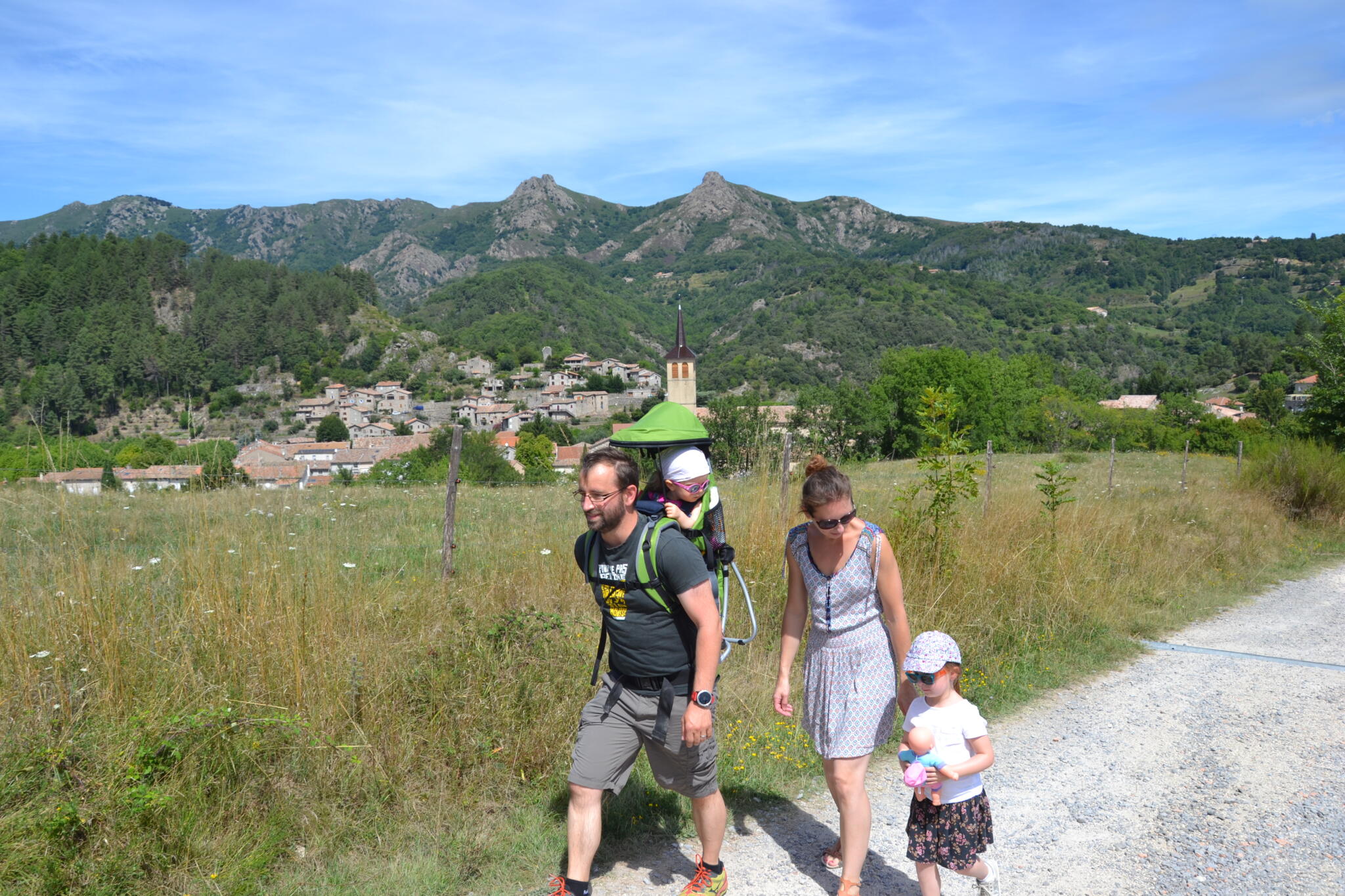

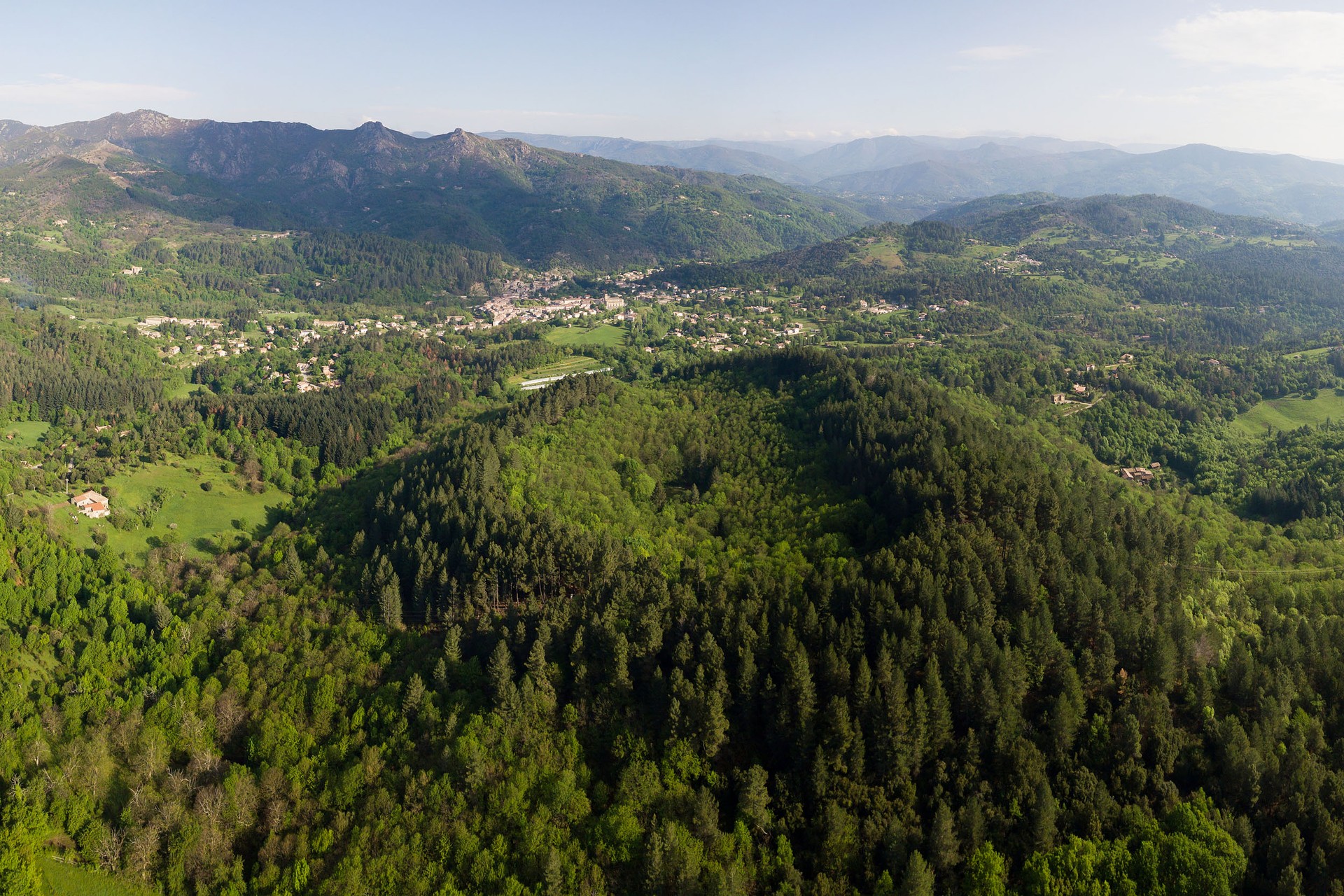


Hike from the picturesque village of Jaujac in the Ardèche, to the volcano ‘La coupe de Jaujac’ and its water flow
Opening : All year round.
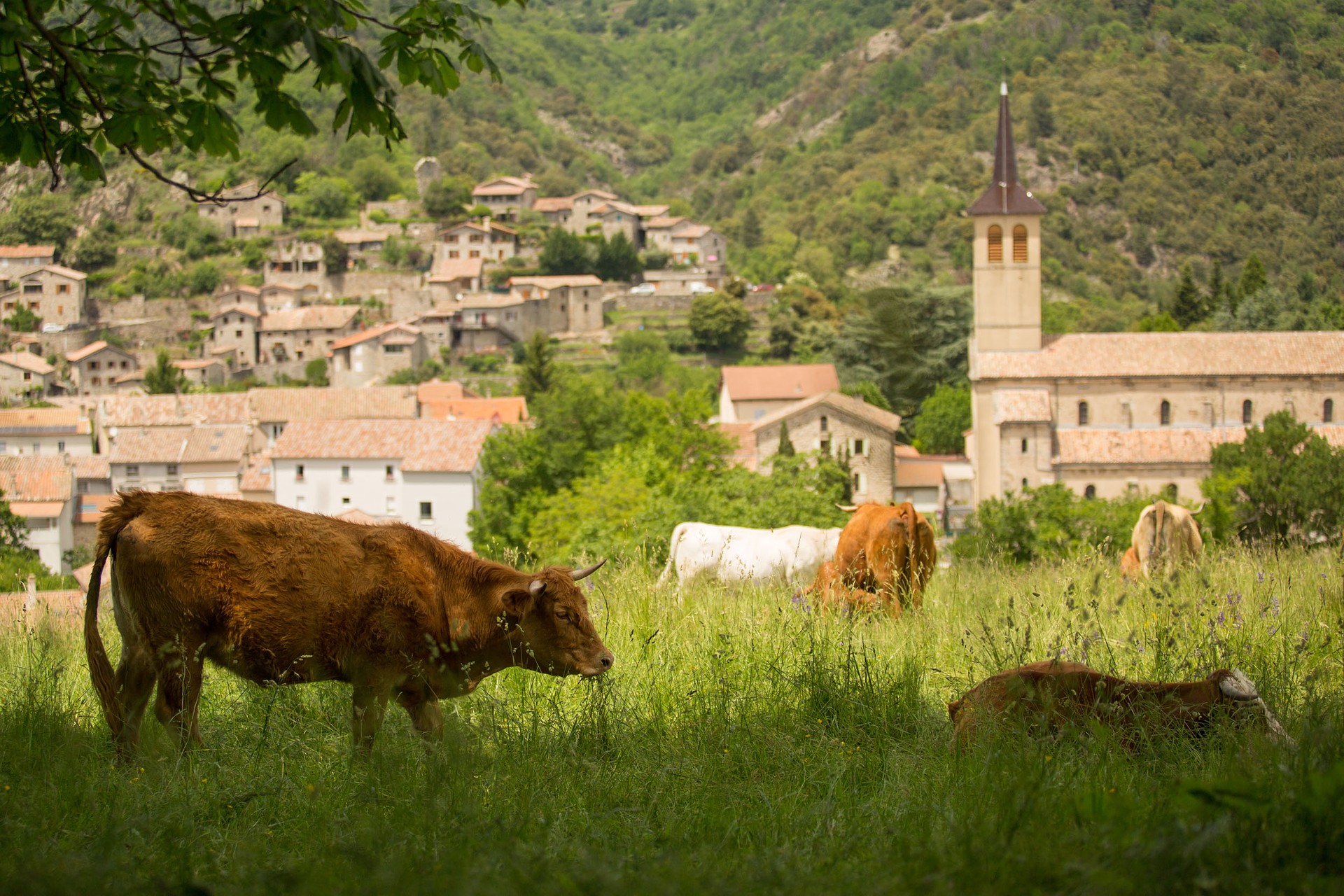
Itinerary that includes a walk in the character village of Jaujac then on the steps of its lively flow, marked by red poles to access the Jaujac Cup, the last extinct volcano of Vivarais (youngest volcano of Ardèche)...
① 1st part: the old village and the basalt flows. Take the Rue de la Pailhette (towards Chastelas, basalt flows, Roman bridge) and go down the street to Place Saint-Bonnet. From there, take the descent on the right towards “Le Chastelas”. Cross the bridge, then turn right towards “les coulées-pont romain” above the river.
② At the fork, go down to your right, a geo-totem is located in the old mill.
③ Arriving at the beach known as “de la Turbine”, take a swim or continue on your left along the columns.
④ Cross the Roman bridge, then tackle the climb in front of you (follow the trail markings). Just before this climb, if the stream is dry, feel free to make a detour, 20m to the left, to see the mini-chaussée des géants in the stream bed: you are walking on the prisms of the flow.
⑤ Once on the road, you will reach an orientation table overlooking the area. Retrace your steps and start the descent on the road. Continue to the 2nd bridge, then turn left for 100m to the lookout point.
⑥ Enjoy the view and the explanatory panels, then retrace your steps for 50m.
⑦ Then take the left impasse “Chemin du Chastelas” which climbs up to the village. Follow the paved path leading to a lookout.
⑧ Right behind you, take the stairs that climb to reach the second lookout at the foot of the ruins of the Chastelas keep. Start the descent to the 1st lookout, then take a right to descend. After 50m, take the stairs on the left (green trail marking – chaussée des géants trail). Follow the markings in the village until you return to the Chastelas bridge which you will cross again. Arriving at Place Saint-Bonnet, continue to the fountain, then go up Rue de la Molle.
⑨ At the Tourist Office, turn left. You are back at the square and the first part of the walk ends here.
⑩ 2nd part: The ascent of the volcano and the “La coulée vive” interpretive trail. Head opposite into Rue du Trible. At the church, turn right and climb the slope to reach the Rochemure estate castle.
⑪ Climb to the front of the castle, then go around it to the right.
⑫ Take the stairs on your left and head towards the model and the plan of the estate. You are now on the “La coulée vive, curious trail of the Monts d’Ardèche” path which will take you to the Jaujac volcano via 12 interpretive areas. Follow the red markings and numbers.
⑬ The trail starts by the building in front of you, an old agricultural building that almost became a mineral water bottling plant at the beginning of the last century. Continue through the gardens, then head to the basin and the small building on your right, the Clède.
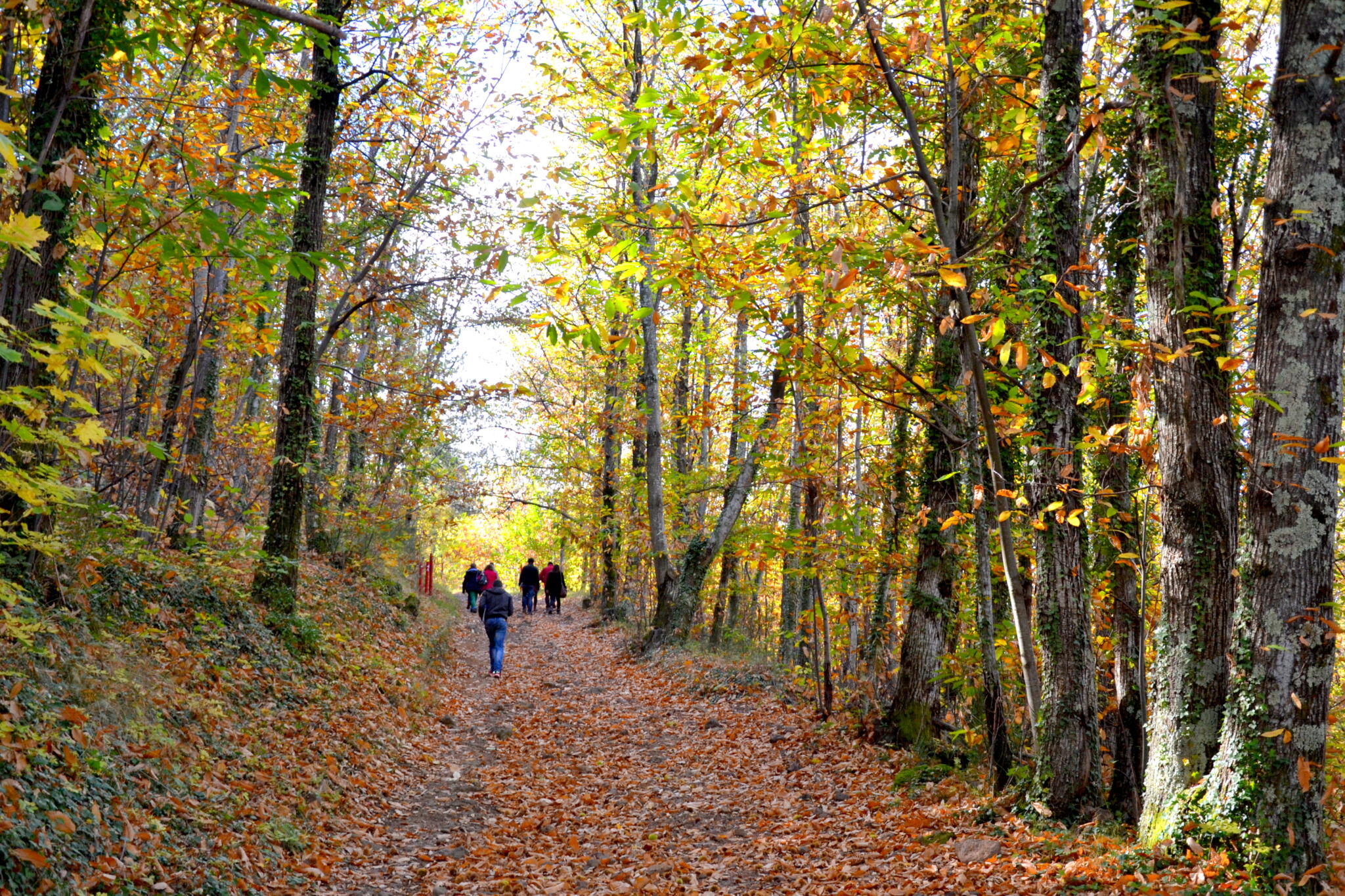
⑭ Pass it and follow the path along the meadow. You will then enter a small wood. Continue to follow the red markings.
⑮ Arriving at the lookout, enjoy the view of the crater’s collapse, then continue backtracking a few meters, then take the straight path down.
⑯ At the crossroads, turn left and continue following the red markings. At the fork, take a right and head towards the chestnut trees. Continue along the perimeter of the catchment area to the Peschier spring below the path. The water from this spring, naturally high in iron, is drinkable; taste it, some say it tastes like coins!
⑰ Retrace your steps for a few meters, then turn right to start the ascent of the volcano. Climb up the second path on your right.
⑱ At the fork, continue straight. At the next intersection, you have the option to go straight to the crater or take a right to walk around the crater on its rim. This loop adds 30 minutes with a beautiful climb but offers lovely views of the Ardèche Cévennes.
⑲ Arriving at the center of the crater, retrace your steps and start the descent following the red markings, or walk around the crater. At the bottom of the forest, continue straight on the path along the catchment area. Point number 20 offers a stop at the dragonfly pond (round trip). After this stop, continue to return to the Maison du Parc. From there, take the trail again to reach Place du Champ de Mars, your starting point.
Start : Place du Champ de Mars in Jaujac
Communes crossed : Jaujac
Road access and parking
Parking:
🛈 Find here all the hikes in our area and on the Application Rando Monts d’Ardèche
- Car park
- Parking
- Pets welcome
- Pets accepted: Yes
- Animal reception conditions:
Please keep your pets on a leash when out walking.
- Not accessible in a wheelchair
- English
- French
Hiking : The Jaujac's volcano flow
Maison du Parc, Domaine de Rochemure
07380 Jaujac


