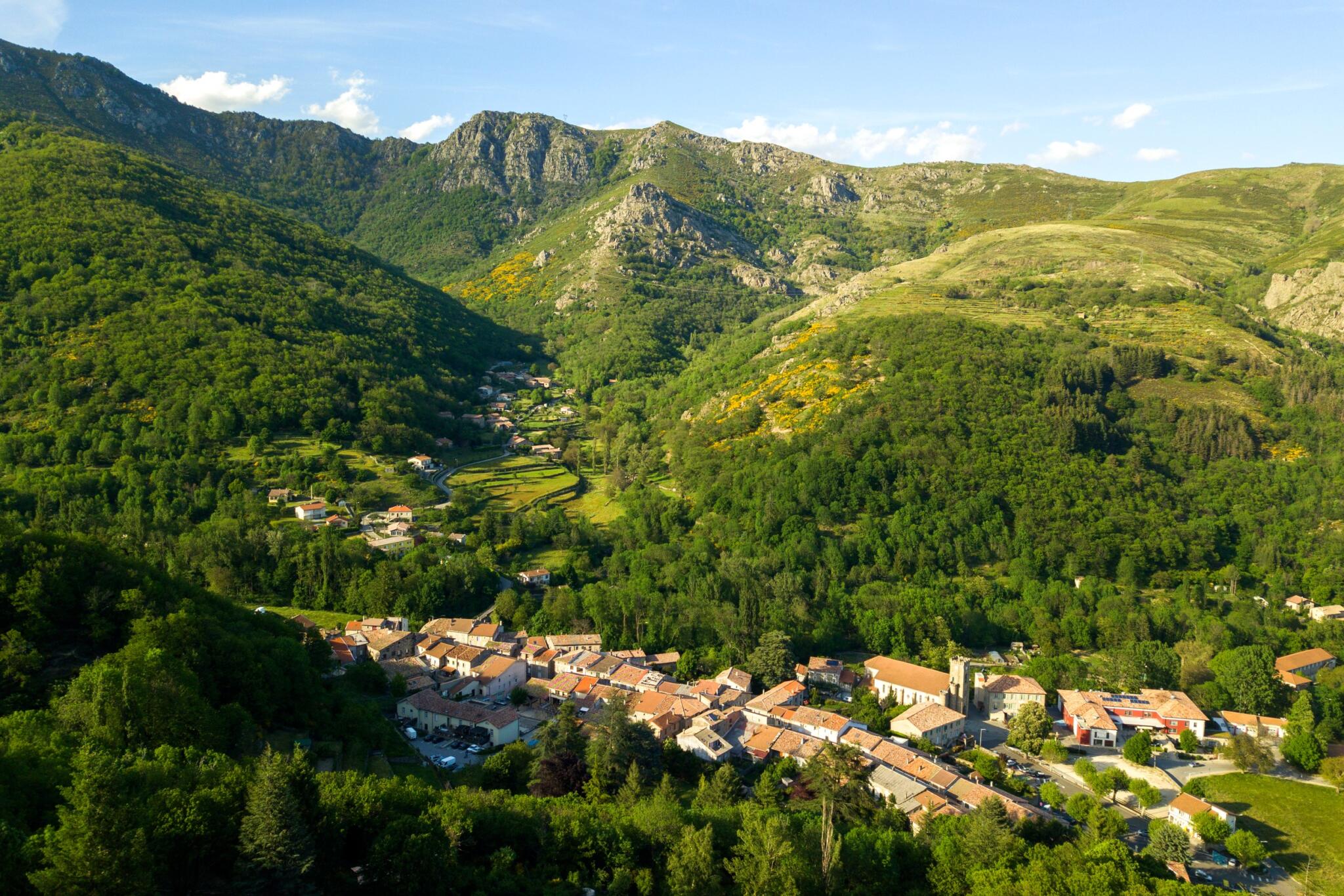


A walk starting from the village of Montpezat-sous-Bauzon in the Ardèche: its ancient roads, the Pal coast and the Chambon volcano.
Opening : All year round.
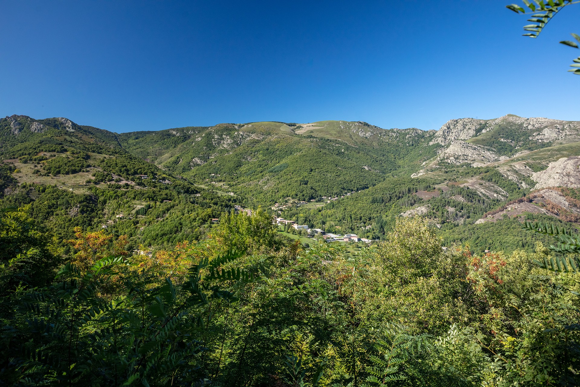
Follow the ancient routes that connect the Montpezat valley to the plateau by the Pal coast. On the way back, the Chambon volcano will reveal its characteristic shape and impressive emissions of mudslides, creating a unique panorama.
🔁Loop ⚠4 Difficult 🕒5H 📏12km 📈+657m ![]() PR
PR
Start from the “INFO RANDO” panel in the post office square, Montpezat-sous-Bauzon
① From the post office square, follow the direction 🚩 “Fontaulière – les Oulettes” to the right, going up the main street to the round fountain. Then take Rue de Jules César on your left. At Chemin des Endettés, continue towards 🚩 “Fontaulière – les Oulettes” on the right. After 500m, cross D 536 and follow the paved path.
② At the La Croisette intersection, where a wooden statue of animals stands, follow the path to the left called “voie romaine” towards 🚩 “Fontaulière”. The path climbs in switchbacks under the chestnut trees, first quite steeply, then more gently, turning west.
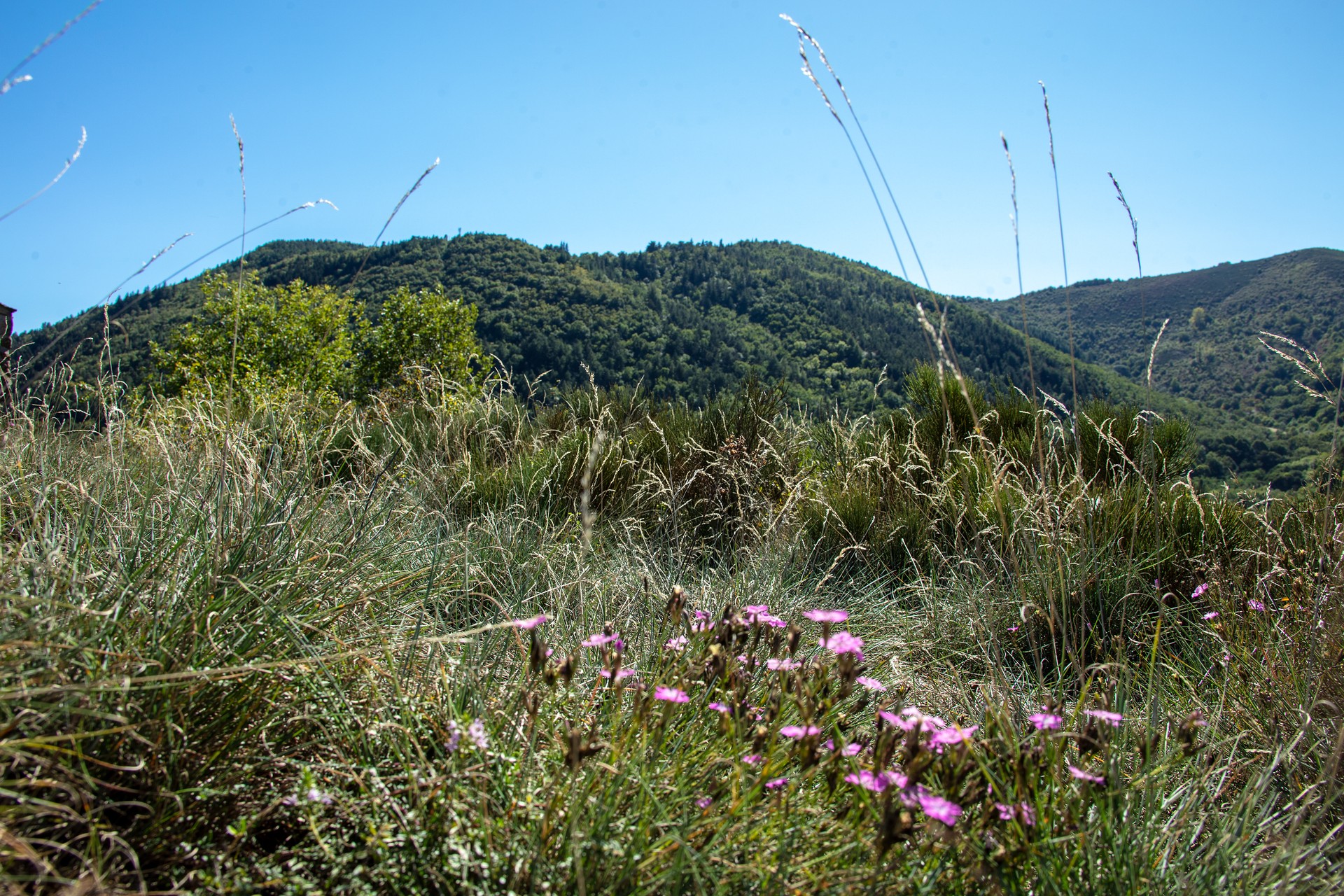
③ After 1.5 km of climbing, at the intersection, leave the descending path to the hamlet of Le Fau on the right and continue to climb on the path: you are on the old and magnificent Roman road, in excellent condition. Follow it for nearly 3 km, crossing a few streams (easy ford crossings). The climb becomes steeper at the end, with long switchbacks, but you will be rewarded with a superb view of the Montpezat valley. After a traditional broom field, you enter the beech forest. The path then emerges on the plateau at the Col de la Croix du Pal.
④ At the intersection, take the path that goes to your right.
⑤ After 120m, the Chambon forest track (PR) starts on your right. Follow it. It overlooks the crater of the Chambon volcano in the middle of which is an old farm. Go around the crater following the track and ignoring the various paths that cross it.
⑥ After a wide curve, take a path on the left, descending sharply, sometimes abruptly. You are in the scree of the Chambon volcano. Be sure to follow the markings on the trees; this path, often in switchbacks, crosses several small streams. You cross a great variety of volcanic projections emitted by the Chambon volcano, as well as basalt flows and finally lahars offering almost lunar landscapes overlooking the hamlet of Le Fau.
⑦ Upon arriving at the hamlet, cross it and at its exit, take the path on the left. Cross a small road, continue straight in the middle of the meadows. After 500m of gentle descent, you reach the La Croisette intersection again and return to Montpezat by the same path, your starting point.
Start/End: Post office square in Montpezat-sous-Bauzon.
Communes crossed: Montpezat-sous-Bauzon
Road access and parking
From Aubenas, take the direction of Le Puy en Velay and continue on D536 to the village of Montpezat-sous-Bauzon.
Parking: Parking in the post office square. Several free parking lots are available in the village of Montpezat-sous-Bauzon.
🛈 Find here all the hikes in our area and on the Application Rando Monts d’Ardèche
- Car park
- Parking
- Pets welcome
- Pets accepted: Yes
- Animal reception conditions:
Please keep your pets on a leash
- Not accessible in a wheelchair
- English
- French
Hiking : The Chambon volcano
Place de La Poste
07560 Montpezat-sous-Bauzon


