Hike from the village of Péreyres to the Ray Pic waterfall in Ardèche
Opening : All year round.
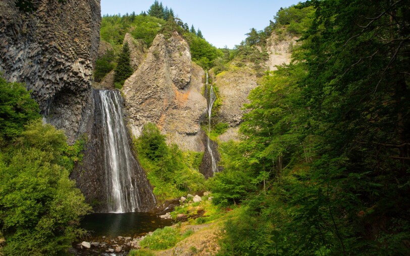
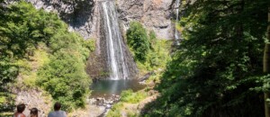
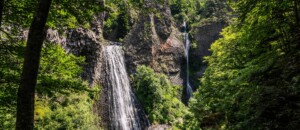
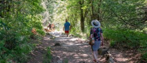
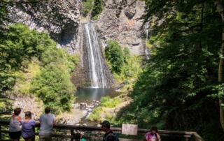
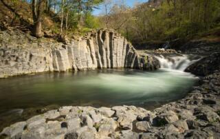
This out-and-back walk in the Péreyres commune takes you to the majestic Ray-Pic waterfall, a must-see volcanic site in the Ardèche! Most of the trail is in woodland, with several steps leading up to it.
↔ Round trip ⚠3 Moderate 🕒3H 📏5.8km 📈+223m 📉-218m PR
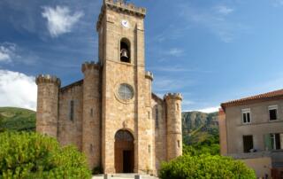
Departure from the “INFO RANDO” sign on the village square in Péreyres.
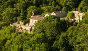
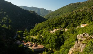
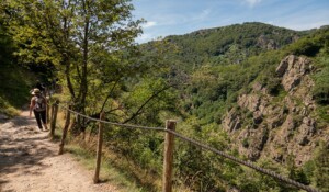
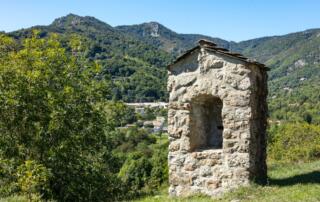
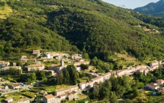
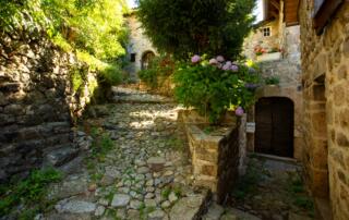
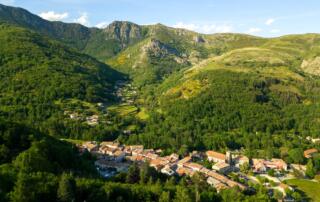
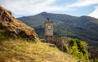
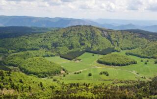
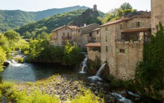
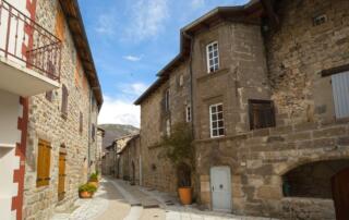
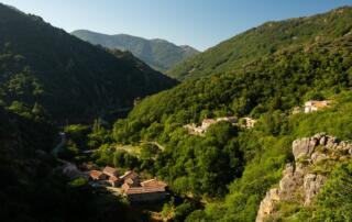
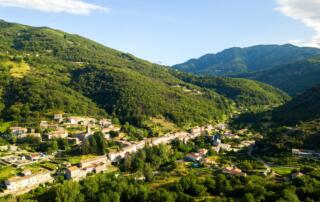
① 🚩Follow the sign Lachamp-Raphaël 8.8km. Climb the calade. A superb panorama of the Bourges valley and a beautiful view over the village of Péreyres will open up to you.
② Join the RD 215, turn left until the hamlet of Chabron.
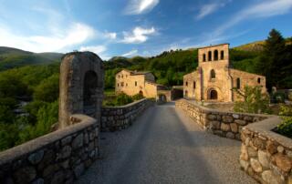
③ Pass the hamlet and follow the direction signpost 🚩 RayPic 4km. Continue on the RD 215 until the Ray-Pic bridge.
④ Cross the bridge and take the path on the left that winds through the woods to the Ray-Pic parking lot.
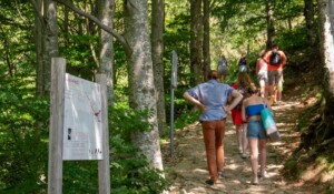
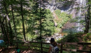
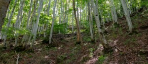
⑤ Go down (15 min) along the path through the beech trees and blueberry heather to the Ray-Pic waterfall. Direct access to the river and swimming are strictly prohibited. Return to Péreyres by the same path.
Departure/Arrival: Village square in Péreyres
Towns crossed: Péreyres
Road access and parking
Aubenas, take the N102 to Pont de Labeaume. At the exit of the village, turn right onto the D536, direction Montpezat sous Bauzon then the D215 towards St Pierre de Colombier.
Thueyts, take the N102 towards Aubenas. Before entering Pont de Labeaume, take the direction Montpezat-sous-Bauzon then the D215 towards St Pierre de Colombier.
Parking: In the village of Péreyres.
🛈 Find here all the hikes in our area and on the App Rando Monts d’Ardèche
- Car park
- Parking
- Pets welcome
- Pets accepted: Yes
- Animal reception conditions:
Please keep your pets on a leash during your hikes.
- Not accessible in a wheelchair
- English
- French
Hiking: From the village of Péreyres to the Ray Pic waterfall
Place du village
07450 Péreyres
