Trail of the Giants’ Causeway in Thueyts
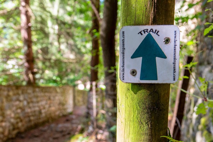
Unmissable event in Ardèche, the Trail of the Giants’ Causeway is a sports event held every year in the picturesque village of Thueyts, on the first weekend of June, with permanent routes. Curious to know more? We’ll provide more details about these routes, suitable for both hiking and running/trail.
At a running pace
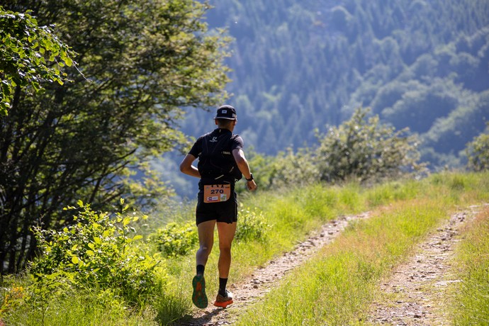
Initiated over 10 years ago, the Trail of the Giants’ Causeway was created by a local association of 9 trail enthusiasts (and Ardèche lovers!). As a friendly sports competition, the trail attracts thousands of participants every year, both beginners and experienced, to test the 3 routes offered during the event. Accessible to all, it offers three routes: La Gravenne (10km), le Ranc Qualiou (20km), and les 3 vallées (51km), which can be done either as a hike or a run (for the most courageous among us). The different routes are permanent, allowing both newcomers and experienced hikers to explore the incredible natural panoramas of the Monts d’Ardèche, the surroundings of the Devil’s Bridge, the Abraham Valley, and the heights of the picturesque village of Jaujac and the banks of the Lignon River.

The Gravenne route – 10km
The Gravenne route, marked in green, will take you through the heart of the picturesque village of Thueyts, around the White Cross, and then ascend to its heights by following the volcanic ridges of this volcano between Thueyts and Montpezat. The route will also take you towards Prat de Berland, Ranc Qualiou, and the hamlets of Sableyre-bas and Dardet before finally completing your loop back to your starting point in the village.
The Ranc Qualiou route – 20km
The Ranc Qualiou route, marked in blue, starting from Rue Pouget in the village of Thueyts as well, takes you on trails of pozzolan (volcanic rock) on the slopes of the Gravenne volcano and towards the cross of Briges and various hamlets. After crossing Combegleyze, les Girauds, la Vernède, and the former hamlet of Fargebelle, these beautiful mountain trails will bring you back to the banks of the Ardèche River and its famous natural site, the Devil’s Bridge.
The 3 Vallées route – 51km
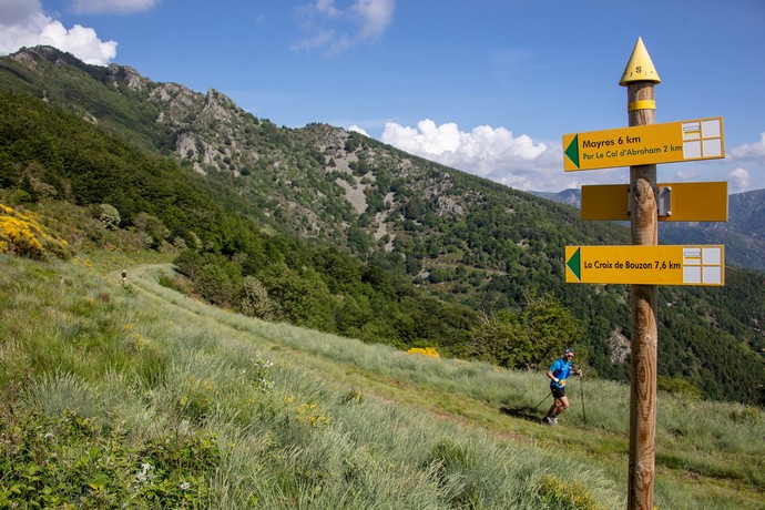
The 3 Vallées route is the challenge for all endurance adventurers with its 51km (estimated at 10 hours of running for the complete circuit)! It passes through three valleys, hence its name: those of Thueyts, Mayres, and Jaujac. Some more technical passages like the Croix de Chaumienne, Col de Barbejo, or Col d’Abraham will delight elevation enthusiasts above 1200 meters. It’s a true elevator of landscapes that will unfold before you, between the rivers Ardèche, Lignon, and the magnificent volcanic panoramas.
The wonders to discover along the route
🏃 Picturesque village of Thueyts and its Devil’s Bridge
At the starting and finishing points of the routes, you will have the opportunity to explore the cobbled streets of the picturesque village of Thueyts, in a unique setting of Renaissance houses, fountains, washhouses, and painted frescoes.
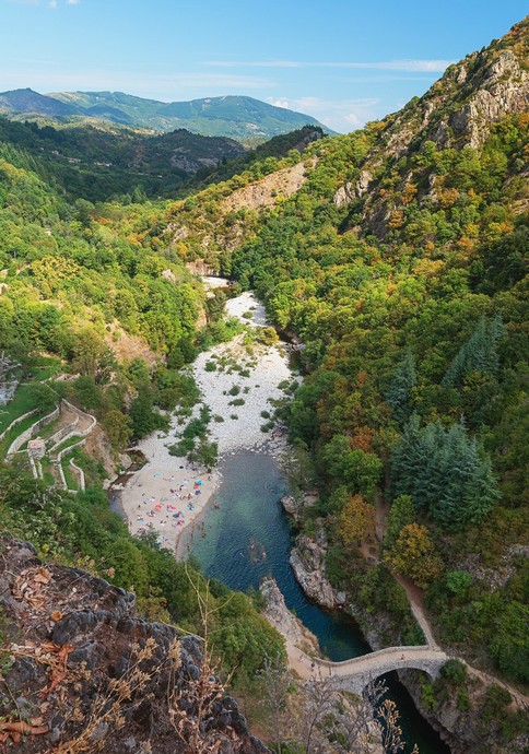
The legendary “Devil’s Bridge” of Thueyts marvels with its exceptional natural setting, on the banks of the Ardèche River, just at the foot of the basaltic flow of the Chaussée des Géants and the picturesque village of Thueyts. The 3 routes of the Trail of the Giants’ Causeway pass through this mythical bridge, allowing participants to contemplate the valley or even enjoy a swim after the race!
🏃 Village of Mayres and its Rock of Abraham
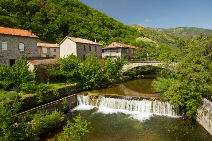
The village of Mayres will delight those seeking serenity! It welcomes you in its peaceful setting in the heart of the mountains, with the Ardèche River flowing under its Malbos bridge. It provides all its visitors with a breath of fresh air before climbing its Col d’Abraham, reaching an altitude of around 1200 meters!
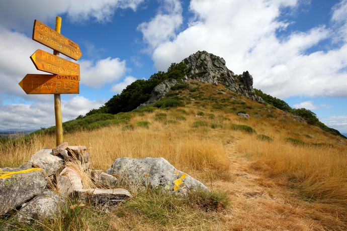
If there is an unmissable meeting point for hiking enthusiasts and high-altitude lovers in Ardèche, it is indeed the Rock of Abraham! Although its ascent is not included in the Trail of the Giants’ Causeway, the route passes through its pass and offers incredible panoramas, giving you a taste of its summit.
🏃 Picturesque village of Jaujac, its river, and its heights
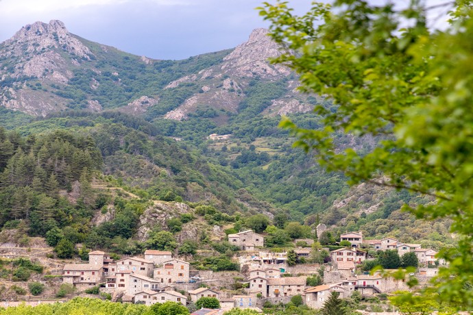
The picturesque village of Jaujac charms with its setting between medieval architecture and riverside. Its medieval district of Chastelas allows you to rise above its streets and admire its volcano. From the Rochemure castle, you can observe Ladenne and Courcoussat, peaks along the route of the Trail of the Giants’ Causeway.

A major site of volcanism, the village of Jaujac is home to the Regional Natural Park of Monts d’Ardèche (UNESCO Geopark labeled) and its youngest volcano: La Coupe de Jaujac. Its landscapes are marked by volcanism, clearly visible in its village center with one of the longest basaltic flows in Europe along the Lignon River!
