Hiking around the village of Prades, the Salindre valley and its old railroad in Ardèche
Opening : All year round.
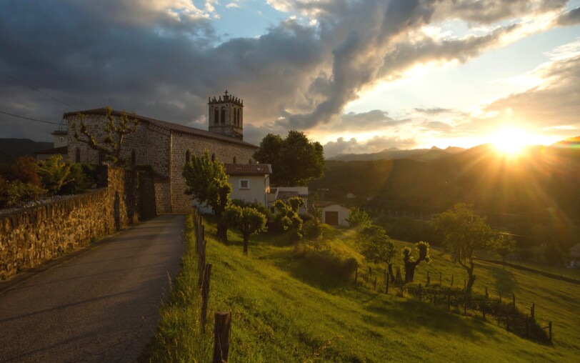
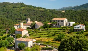
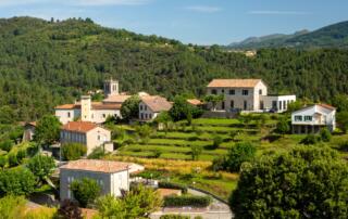
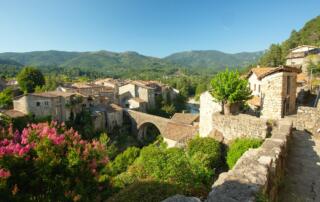
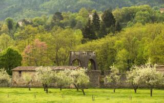
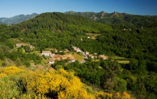
Set off from the village of Prades and take in some unusual scenery! The Salyndre valley will charm you with its river, its valleys and its landscapes shaped by agriculture...
🔁Loop ⚠3 Moderate 🕒3H 📏10.3km PR
Start from the town hall square in Prades.
① Start at the “INFO RANDO” panel, village square. Take the RD 323 and continue to the hamlet of Margoulier.
② Take the road to the left towards Brousse, and after about 100m, leave it to take a path to the Col de Montférou.
③ 🚩You are at the Col de Montférou, follow the sign to Lentillères 2.5km. Follow the track to the right to the hamlet Le Village. Montférou is composed of two Occitan words: “Mont” : mountain and “Ferò” {férou} : very irritated, furious. Does this mount attract lightning?
④ 🚩 You are at the hamlet Le Village: follow the sign to Prades 6.4km.
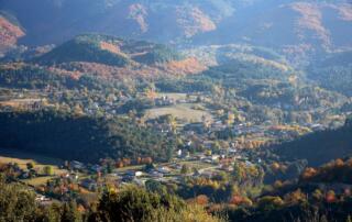
⑤ 🚩 You are at Les Perringues, follow the sign to Prades 6km, and continue on the path for 900m. Superb panorama of the Salyndre valley and the mountains of the Hautes Cévennes.
Start: Town hall square
End: Town hall square
Communes crossed: Lentillères and Prades.
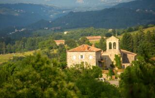
During your walk, you will pass near the Montseveny castle (not visitable – private property) with its magnificent 17th-century architecture.
Road access:
From Aubenas, take the N102 to Lalevade d’Ardèche. At the roundabout, take the left direction to Prades.
From the east or north, take the D5 after Neyrac-les-Bains from the N102. In Jaujac, take the direction of Lalevade d’Ardèche. Go down the road for 5 km and take the direction of Prades to the right.
Parking: Town hall square
🛈 Find here all the hikes in our area and on the Application Rando Monts d’Ardèche
- Car park
- Parking
- Pets accepted: Unknown
- Pets allowed (supplementary payment): Unknown
- Not accessible in a wheelchair
- French
Hiking : Prades, the Salindre valley and its old railroad
Place du village
07380 Prades
